The best roadside pause between Pai and Tham Lod
Written by Nolo Hub Pai
Updated by the Nolo team, November 2026
tl;dr
Doi Kiew Lom Viewpoint is a free roadside mountain pass on Highway 1095 between Pai and Pang Mapha, 26.2 km north-west of Nolo Hub Pai. There’s no trek and nothing complicated to plan: pull over, stretch your legs, and look out across the ridges on your way to Tham Lod Cave or Ban Jabo.
Also known as: ดอยกิ่วลม · Kiew Lom · Doi Kiu Lom · จุดชมวิวดอยกิ่วลม
Doi Kiew Lom at a glance
- Where
- Highway 1095 at the pass towards Pang Mapha, north-west of Pai (not the Huai Nam Dang viewpoint towards Chiang Mai)
- From Nolo Hub Pai
- 26.2 km, around 45 minutes by scooter
- Entry
- Free to stop, with no ticket booth or barrier
- Time
- 15–30 minutes for a break, or longer for sunset or a coffee
- Best time
- Cool-season mornings (late October to February) for valley mist looking east; late afternoon and sunset looking west over Pang Mapha
- Facilities
- Roadside parking on both sides, a short walk up to the viewing area and pavilion; coffee and snack stalls and toilets, depending on the day and season
- On the way to
- Tham Lod Cave, Ban Jabo and Mae Hong Son town, with the Sai Ngam Hot Spring turn-off at 18.8 km on the way up
- Bring
- Water, sun protection, and a warm windproof layer: the pass is much higher and colder than Pai town, especially after sunset
- Map
- Google Maps · Apple Maps
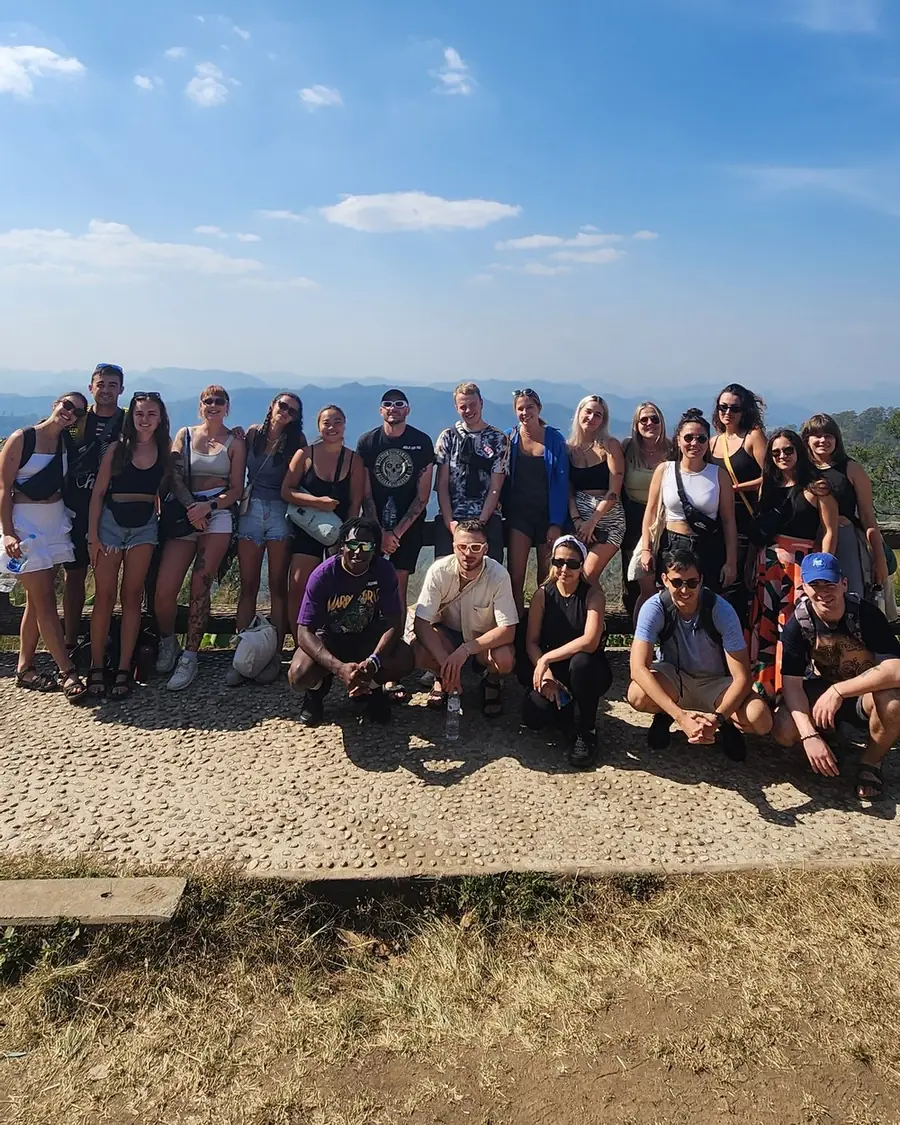
Pull over, stretch your legs, grab a coffee if the stalls are open, and look out across the mountains.
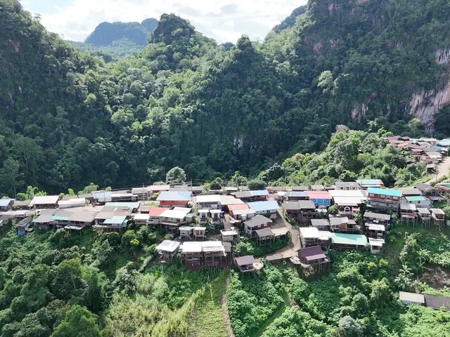
At the top of the pass between Pai and Pang Mapha, the view opens over layer after layer of forested ridges, with jagged limestone peaks breaking through the valleys in the distance. On clear days, it gives you a real sense of how quickly the landscape scales up once you climb out of the Pai basin. On cold mornings between late October and February, mist gathers in the valleys below, turning the mountains into islands above a sea of cloud.
It’s a small stop, but a genuinely good one.
What to expect, and which Kiew Lom this is
Think of Doi Kiew Lom as a mountain rest stop with a big view rather than an attraction that needs a long visit.
There’s roadside parking on both sides of the highway and a short walk up the steps to the viewing area and the pavilion. Depending on the day and season, you’ll find small open-air stalls selling coffee, snacks and local highland fruit, along with toilets and a covered place to sit. Because stall hours change through the year, bring your own water and don’t rely on any one shop being open.
Allow 15 to 30 minutes to stretch your legs and let the mountain road settle out of your hands, or longer if you’re stopping for sunset on the way back to Pai.
One map check before you set off. In Northern Thai, kiew lom (กิ่วลม) simply means a windy mountain pass. It describes the terrain, and Highway 1095 crosses two of them. The other one sits south-east of Pai, towards Chiang Mai, inside Huai Nam Dang National Park, which charges a 300 baht park fee. This one is north-west of Pai, towards Pang Mapha (19.445931, 98.319122), right on the highway, and free.
You’ll pass right through it if you’re riding from Pai towards:
- Tham Lod Cave
- Ban Jabo
- Pang Mapha and Mae Hong Son town
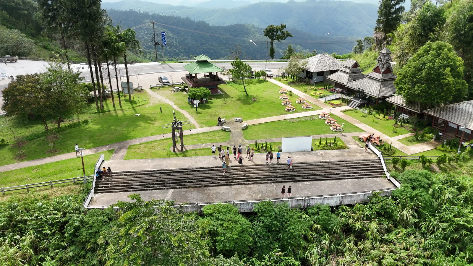
Morning mist, clear skies, and sunset from the pass
Doi Kiew Lom sits right on the saddle dividing the Pai valley from the Pang Mapha karst country, so the viewpoint looks out in both directions, and it works at both ends of the day for different reasons.
Cool-season mornings (late October to February). Looking back east towards the Pai basin, early mornings often fill the valleys below with low cloud and mist, with the ridges rising above the white layer in tiers. Mist is never guaranteed: it depends on the overnight temperature, humidity and wind, so don’t judge the pass harshly if you arrive after the cloud has lifted. A clear morning shows off the full depth of the forest and valleys instead.
Late afternoon and sunset. Looking west into Pang Mapha, the late sun drops behind row after row of limestone peaks, and behind the higher ground around the pass before the official sunset time, so get there early. It’s one of the three best sunset spots around Pai, and our own favourite way to finish a day out to Tham Lod or Ban Jabo before heading back to town.
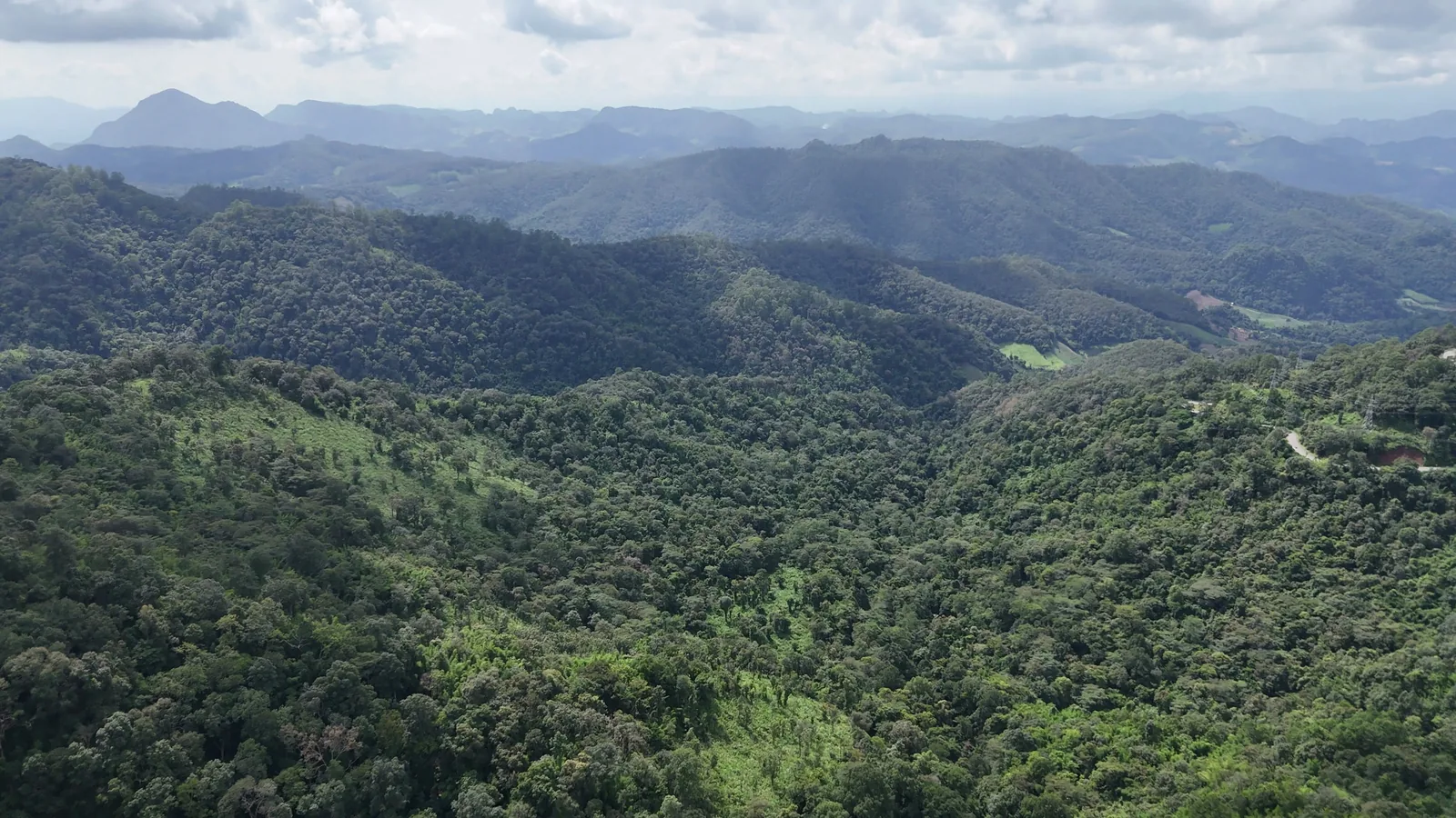
Riding Highway 1095 from Pai
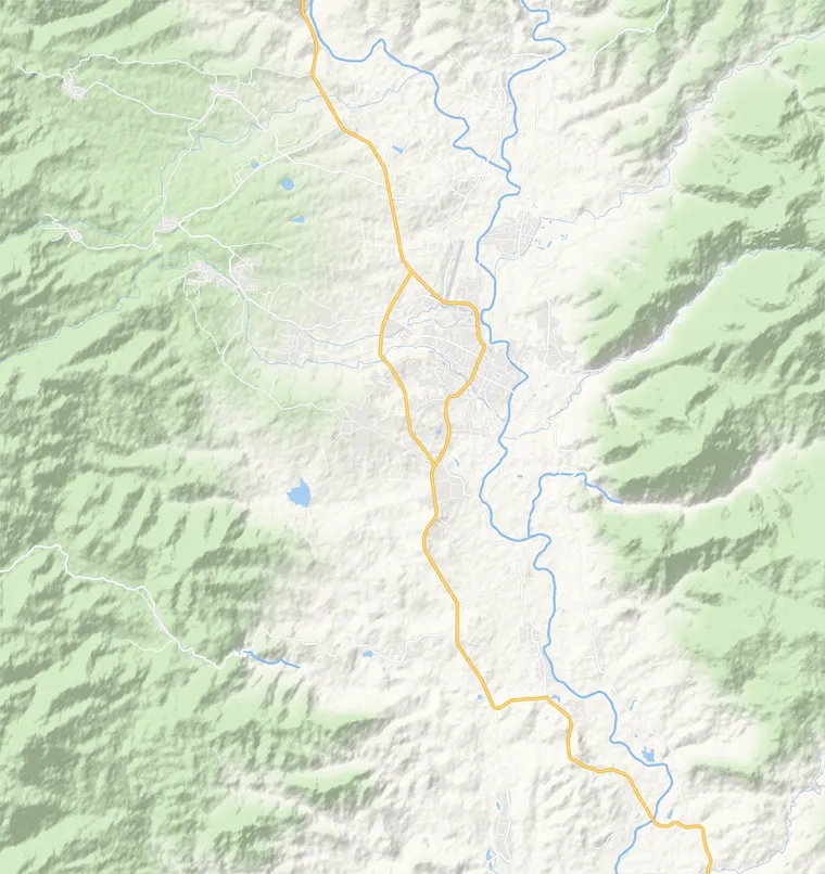
Doi Kiew Lom is 26.2 km (around 45 minutes by scooter) north-west of Nolo Hub Pai on Highway 1095, the main mountain road linking Pai with Pang Mapha and Mae Hong Son.
The highway is fully paved and scenic, but it’s a continuous mountain climb with one blind corner after another, shared with local pickups, minivans and trucks whose drivers know the road well. Fill up your tank in Pai before you leave.
If you’re heading out from Pai on a scooter, Doi Kiew Lom is the natural place to pause, drink some water, and check in with how you feel before deciding whether to carry on down the far side of the pass.
Dark and cold. Don’t ride Highway 1095 before dawn just to chase a mist photo: the pass is unlit, and the fog can be thick. And if you’re staying at Doi Kiew Lom for sunset, pack a proper warm jacket and long trousers for the ride home. The pass sits high above the valley floor in a wind gap, and riding back to Pai at dusk in the cool season gets bitingly cold.
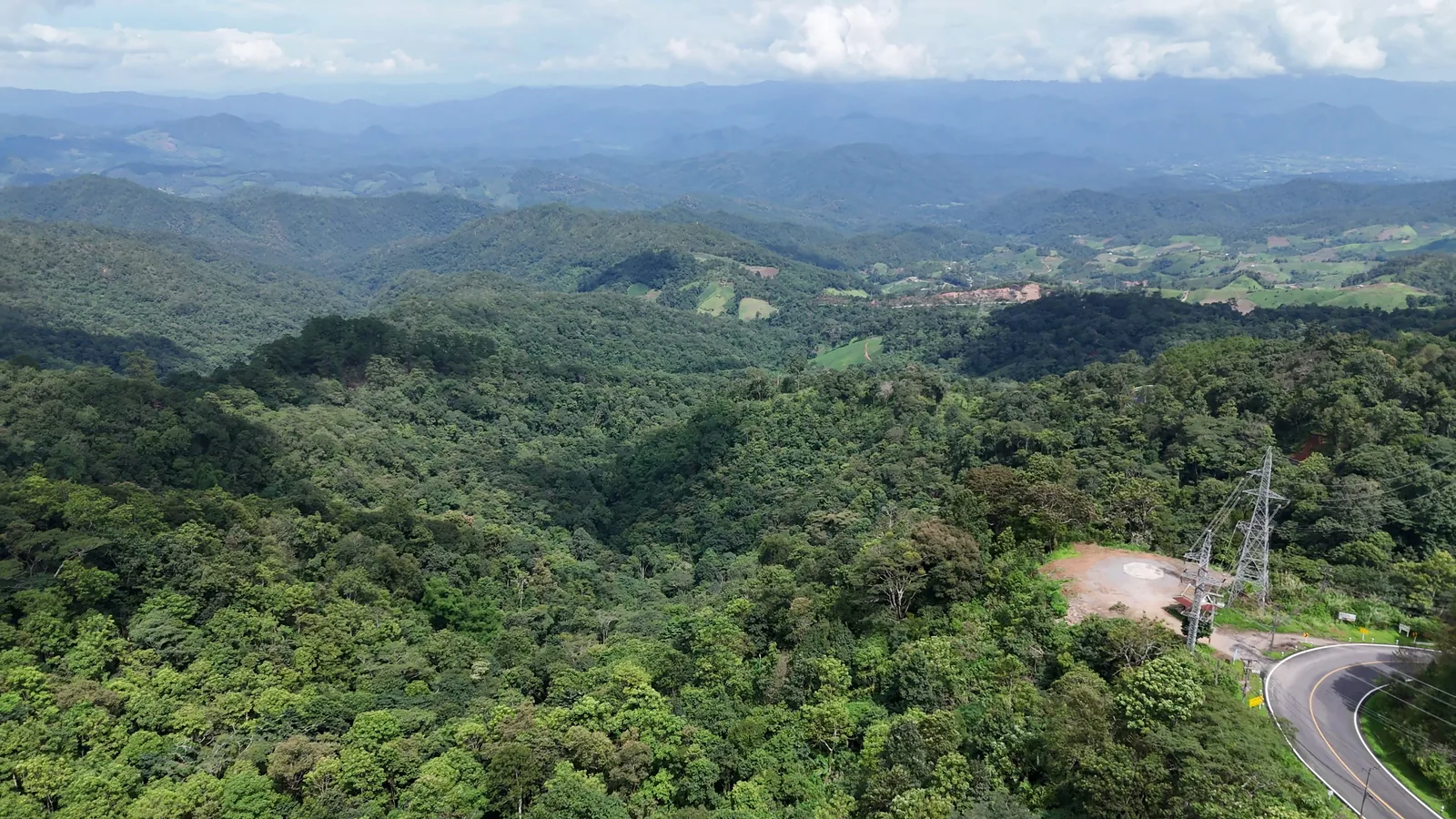
How to pair Doi Kiew Lom with a day trip
At 26.2 km from town, Doi Kiew Lom makes the most sense paired with the sights further along the same north-west road. One easy way to run the day:
- Leave Pai after breakfast, with an optional morning soak at Sai Ngam Hot Spring, whose turn-off is at the 18.8 km mark on the way up.
- Pull over at Doi Kiew Lom to stretch your legs and take in the daytime view across the pass.
- Carry on to Ban Jabo for noodle soup and mountain coffee on the ridge.
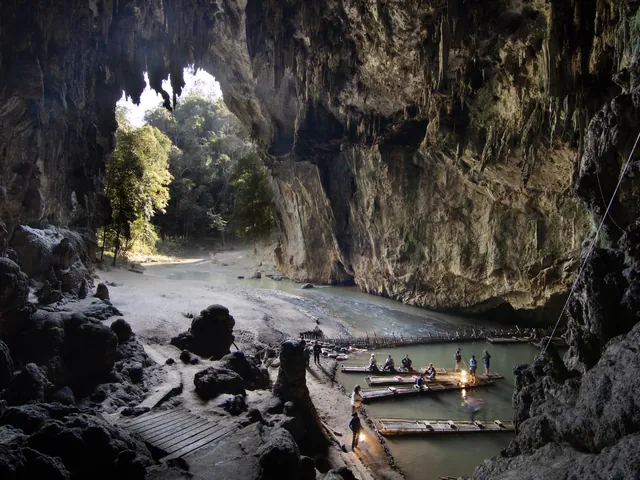
- Explore Tham Lod Cave in the afternoon by bamboo raft and lantern-lit path.
- Stop back at Doi Kiew Lom for sunset on the way home to Pai, with a warm layer for the ride down.
Rather go with a group than ride the pass yourself? Both our Wednesday trip, Tham Lod & Sunset, and our Saturday trip, The Mountain Loop to Ban Jabo, Kikokor and Mae Lana, travel with local drivers and finish with sunset at Doi Kiew Lom before bringing everyone back to Nolo Hub Pai. They’re on the Activities page.
Quick answers
Is Doi Kiew Lom Viewpoint free to visit?
Yes. The Doi Kiew Lom Viewpoint on Highway 1095 between Pai and Pang Mapha is a free roadside stop with parking on both sides of the road and no entry fee. Don’t confuse it with the other Kiew Lom viewpoint south-east of Pai, inside Huai Nam Dang National Park, which charges a 300 baht park fee.
How far is Doi Kiew Lom from Pai?
It’s 26.2 km north-west of Nolo Hub Pai on Highway 1095, around 45 minutes by scooter, on the main mountain road towards Tham Lod Cave, Ban Jabo and Mae Hong Son.
Is Doi Kiew Lom better in the morning or at sunset?
It sits on an open mountain saddle, so it works for both: look east towards the Pai basin on cool-season mornings (late October to February) for the sea of mist, or west over the Pang Mapha limestone peaks for sunset on your way back from Tham Lod Cave or Ban Jabo.
Can you visit Doi Kiew Lom without riding a scooter?
Yes. At Nolo Hub Pai, both our Wednesday trip (to Tham Lod Cave) and our Saturday trip (to Ban Jabo and Kikokor) go with local drivers and stop at Doi Kiew Lom for sunset on the way back.